NHC Monitoring New Low in the Gulf: 70% Formation Chance
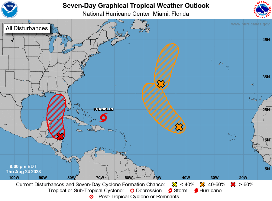
The National Hurricane Center is currently monitoring an area of low pressure located over Central America. Their newest Tropical Weather Outlook discussion has placed a 70% 7-day formation chance for this broad low, which has the potential to develop into a tropical depression as it moves into the Gulf.
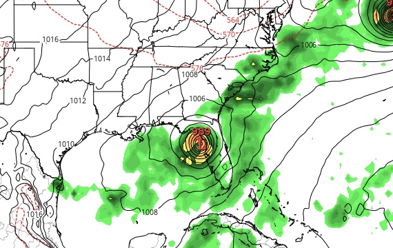
The low is projected to move north over the coming days into the NW Caribbean Sea. Currently, the Euro (ECMWF) model is showing it coming onto shore on the western coast of the Florida peninsula by Tuesday of next week. However, it is too early to be able to determine the specifics of when/where this storm will end up. If it were to become a named storm, it would likely take on the name Idalia or Jose.

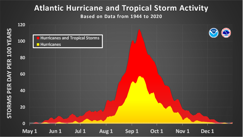
We are not yet at the peak of then Atlantic hurricane season, which historically happens on September 10th. Tropical Storm Franklin, currently north of Puerto Rico, is expected to track E/NE and strengthen into a hurricane over the weekend. This storm will not hit mainland United States, but it has the potential to impact Bermuda early next week.
Today is also the 31st anniversary of Hurricane Andrew, the incrediby powerful Category 5 hurricane that impacted Southern Florida and Louisiana in 1992. With sustained winds of 165 mph, it is still considered to be the most destructive storm to hit Florida, and one of the strongest hurricanes to hit the U.S.
What People Are Saying...
Twitter Mentions
Reddit
Jetpack Comments
Comments are closed here.